The construction industry has started going digital years ago. Nowadays, architectural presentations often utilize desktops and tablets instead of drafting tables. The construction process employs specialized 3D mapping to produce reality modeling – a better option than using rolls of blueprints. And if your business is not up for it, you may be losing potential clients.
3D mapping reached a market value of USD 13.49 billion in 2020 and a CAGR of 20.9% from 2021 to 2026. These numbers are proof enough that there’s a growing demand for this technology.
The three-dimensional model produced by 3D mapping enables the construction industry to achieve more with reduced cost and less time. It helps both designers and architects to become more creative with their projects.
How Does 3D Mapping Work?
In 3D modeling, you create a three-dimensional representation of a surface, shape, or physical object. 3D mapping is a direct application of 3D modeling technology. When used in the construction industry, it creates a three-dimensional blueprint of the project, helping communicate dimensions and material types better.
In able for a computer to create a 3D model, it has to gather data first in the form of spatial points with the use of the following technology:
3D Laser Scanning
Even if aided with digital tools, traditional surveying methods fall short of the capabilities of 3D laser scanning technology. Instead of using a tape measure, theodolites, and dumpy levels, a laser scanner can better capture all of the information, including angles, levels, and distances.
With 3D laser scanning technology, you can collect data about a job site or structure more accurately in less time.
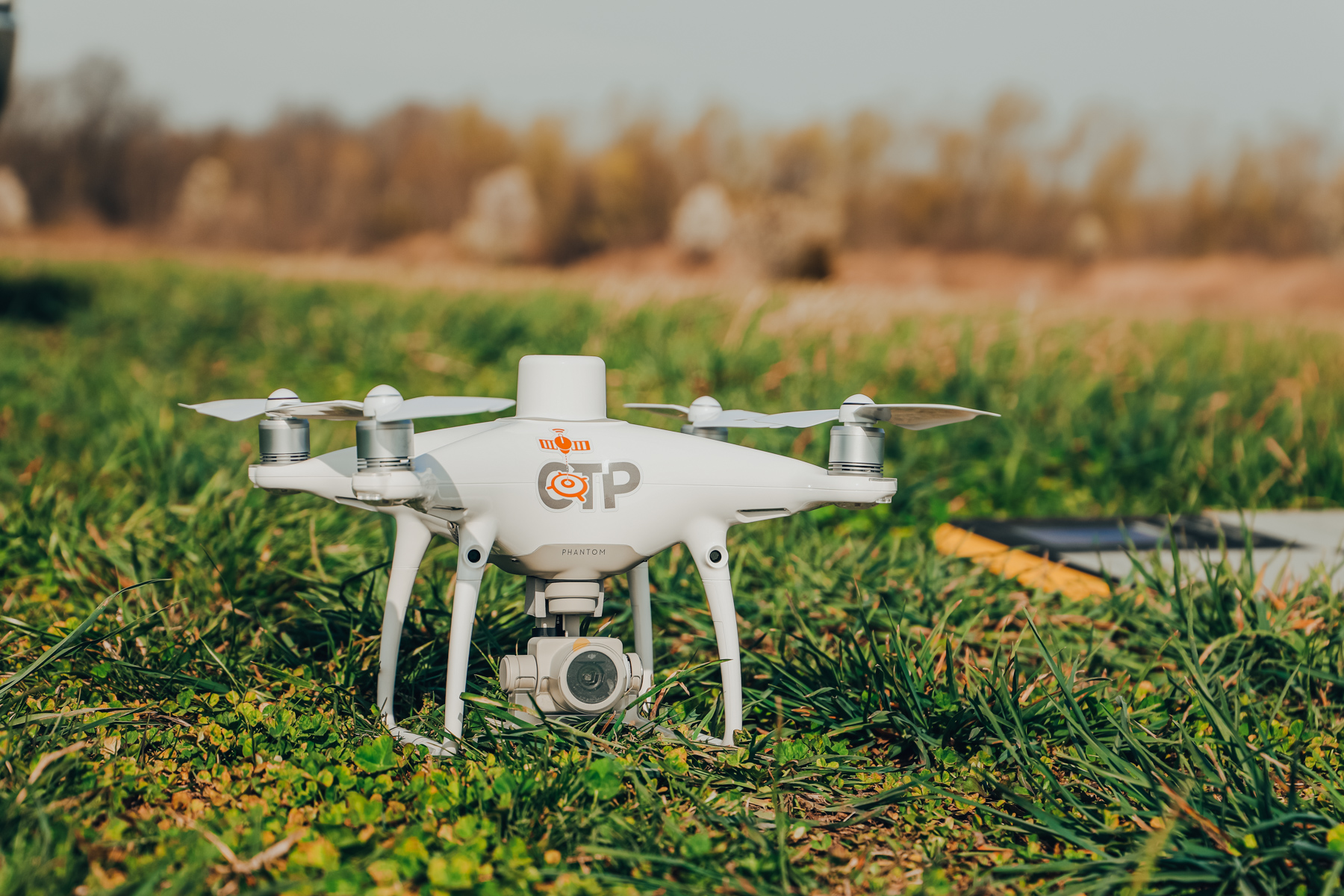
Drone Surveying
A drone is another technological tool that addresses the challenges of conventional land surveying. You can easily capture aerial data using a drone or unmanned aerial vehicle (UAV).
The drone, equipped with a downward-facing sensor, flies over the job site while taking photographs of the land from different angles. Automatic tagging of coordinates to each image helps create the necessary data for building a 3D model of the area.
Benefits of 3D Mapping in the Construction Industry
Precision, timing, and safety are critical factors that should be part of every construction project. With many moving parts involved in a project’s lifecycle, there is no room for error at all. Fortunately, you can achieve this with the proper use of technology.
3D mapping can help you keep track of every project lifecycle stage, from planning to execution. Here are some of the advantages your business can gain from this technology:
Improved Project Planning
3D models generated using the 3D mapping approach can help eliminate the guesswork from any construction project. Project managers, survey managers, and engineers can walk through a virtual project model and quickly identify problem points even before laying out the foundation.
When you have a 3D model of the surrounding landscape, you can:
- Accurately calculate costs for the preparation work such as foundation pouring and ground leveling
- Better estimate the impact of the project in relation to surrounding terrain and neighborhood
- Effectively simulate the effects of flooding and other weather conditions
Better Site Layout Communication
With 3D mapping, you can easily chart the layout of utilities such as wastewater and water piping, natural gas lines, and gutters. Since your crew can better understand the positioning, they can perform their task more efficiently and confidently.
Construction mistakes and mishaps become things of the past when you use 3D mapping. Even tasks such as landscaping or installing benches and other outdoor elements become more precise – eliminating the possibility of re-digging.
Project Timeliness and Conformance
Different teams can work in synergy during the construction phase while consulting the 3D model. You can also fly a drone above the job site to review the progress and quickly compare it to the model.
For large sites, these drones are invaluable tools that can cover more land in a short amount of time. It allows you to generate a real-time 3D mapping and adjust any task to ensure conformance to the plan.
Prepared for Future Modifications
Even after the project’s completion, blueprints generated from 3D mapping will come in handy for future updates or modifications. You can easily simulate new additions for the site using the 3D model and determine the impact on the surrounding structures.
As with the initial planning phase, your architects and engineers can quickly determine if the proposed addition is feasible. Plus, they can calculate the costs involved more accurately.
Enable Your Business to Thrive with the Use of Technology
3D mapping, along with other construction technology, can immensely help you meet tight deadlines without sacrificing the quality of the finished project. You need to make sure, though, that you can use this technology properly to create more precise 3D models and avoid the possibility of rework. Thus, it’s essential to work with companies focused on implementing technology used in construction, such as Construction Technology Partners.
Effectively integrate technology in your construction company. Contact Construction Technology Partners today and boost your business to a whole new level.