How many times have you wondered how to create efficient GPS workflow on a job site? GPS technology can help your construction company in a variety of ways. On one hand, the GPS can be something as simple as being able to locate your machinery. It can also be used to automate the control of your machines. Somewhere in between these two functions is the use of a GPS rover that is able to measure features on your construction site with near-survey accuracy in as little as a few minutes.
GPS-based technology can also be used to improve efficiency and reduce costs. These are some of the ways in which using GPS technology on your construction site can create an efficient workflow.
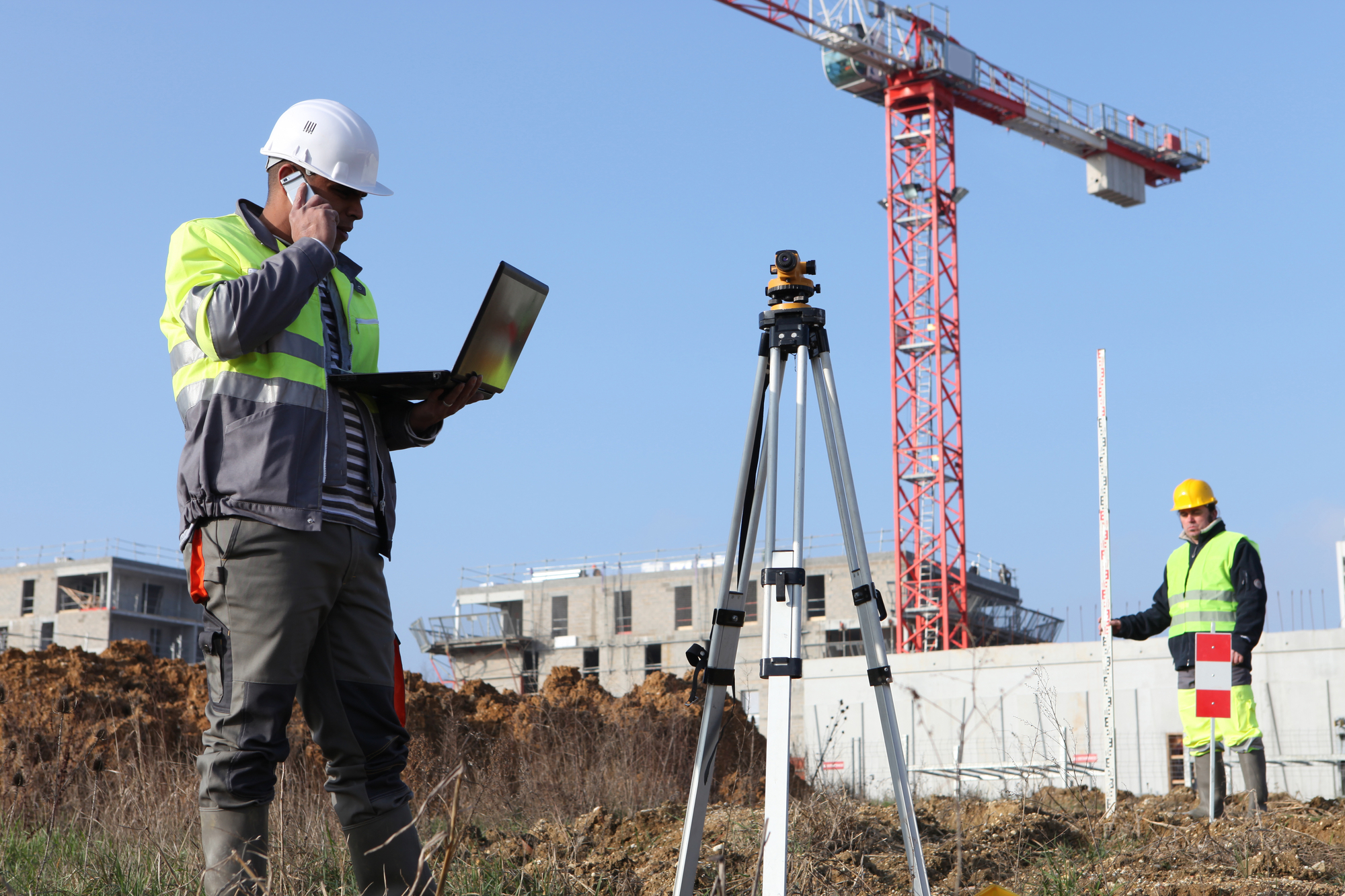
GPS Surveying Is More Efficient on the Construction Site
The technology used with GPS surveying is much like other GPS applications, however, surveyors use these devices differently. One difference is the surveyor will use more sophisticated technology than the typical GPS application. This technology allows for a more accurate collection of data. The receivers in GPS surveying are more complex than those used in typical vehicle navigation systems, as they have a higher-quality antenna and use more sophisticated calculation technology.
Another difference in how surveyors use GPS technology is in the data collected. This data is different than what is learned from a navigation system as well. The data collected through GPS surveying is used to measure between two points. The measurements are obtained, stored, manipulated, and then displayed in GIS (geographic information system) to be used in a survey model.
The basics of GPS are simple, but there are several techniques used by surveyors so they are more efficient in using the GPS measurements collected. These are some of the main techniques used by surveyors so the workflow on a construction site can be more efficient.
Real-Time Kinematic Viewing
RTK (real-time kinematic) is much like baseline methods as they are used to measure the distance between a second receiver and the base station. The difference comes with RTK observations being able to use multiple points quickly instead of just measuring two points. The method has a high level of accuracy in collecting data and can simultaneously correct data in real-time.
CORS (Continuously Operating Reference Stations)
A GPS technique used by surveyors on a construction site to improve their efficiency includes the CORS. This method uses the same principles as other measurement techniques; however, the base station is installed in a permanent spot. With this method, measurements can be taken from any point in the area by using the permanent base station as the starting point.
Using the CORS system, surveyors will place receivers anywhere in the area to collect the data needed. When they have collected this data, it can be combined with the data from CORS to determine positions, correct any anomalies and obtain accurate positions. This system is significantly more efficient in the workflow of major engineering projects.
Static GPS Baseline
The GPS surveying technique called Static GPS Baseline determines accurate coordinates for survey points. These baseline measurements are obtained through GPS recordings over a specific time, and the data is then used to give more accurate results.
This technique used in GPS surveying uses two GPS receivers placed at each end of the line to be measured. The data from these receivers are then collected simultaneously for about twenty minutes. When the data is collected, specific software is used to determine the difference in positions between the two receivers.
This technique is highly efficient and accurate especially if you have long distances to measure. The GPS data collected over time, and the observations obtained at the same time at each point of the baseline allow for any natural distortions in GPS signals to be canceled out.
GPS surveying is an efficient and accurate way for you to model and map the physical world. When you combine GPS surveying with 3D modeling you can create a detailed, actionable collection of data to use in planning your project.
Where to Learn More About How to Create Efficient GPS Workflow on a Job Site
Construction Technology Partners (CTP) specializes in helping you understand new and emerging construction technology. We are here to help you improve your productivity and grow your business while getting the most out of your technology investment. We are here for you to help your construction business with everything from aerial mapping to GPS-based technology to make your workflow more efficient.